DutchInspect BV provides fully licensed Drone (UAV) Services led by certified and experienced pilots. With the use of advanced drones, cutting-edge imaging software, and autonomous flight capabilities, we offer a range of services that include:
Automomous Wind Turbine Inspections. For this service, click here for more and more detailed information
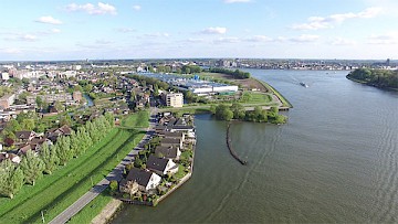
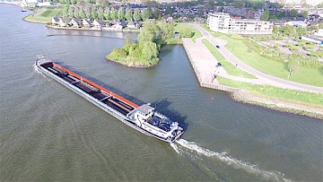
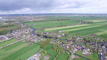
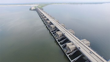
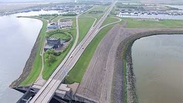
AREA IMAGING / PROJECT IMAGING
Area Imaging / Project Imaging: For your projects, business promotion, or any other application, we provide high-definition images and videos. Our drone imaging technology allows us to capture angles that were previously only possible with expensive equipment like cranes or mobile platforms. We can conduct inspections on hard-to-reach areas such as power masts, rooftops, bridges, and wind turbines. Additionally, drones can map your project and provide a complete 3D image, which is useful for various applications, including buildings, bridges, agricultural areas, storage areas (indoors and outdoors), mining areas, and exploration or construction sites. Our specialized software allows us to generate accurate measurements and perform volumetric calculations, enabling precise volume assessment of stockpiles by flying over them and leveraging GPS signals. Volumetric imaging inside warehouses is conducted using hand-held laser-scanners producing a real-time 3D image from which areas and volumes can be calculated.
THERMAL IMAGING
Thermal Imaging: Our thermal imaging services utilize special cameras to capture infrared images, allowing us to measure temperature differences and convert them into color-coded representations that reveal hot spots in or on objects. This technique is beneficial for identifying poorly insulated areas in structures or buildings (heat leaks). It is particularly valuable for monitoring temperature fluctuations in coal and wood pellet stockpiles, which are prone to spontaneous combustion. We can project thermal images onto visible light 3D images, providing a comprehensive analysis. Compared to conventional methods such as manual surveys or handheld thermal cameras, our drone-based thermal imaging overcomes limitations, including limited access to steep slopes or removed parts of stockpiles. Drones can capture the entire surface of a stockpile, allowing for efficient monitoring and enabling the detection of hot spots over time.
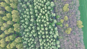
MULTISPECTRAL IMAGING
DutchInspect BV is currently developing hardware and software for hyperspectral imaging, capturing images beyond the visible light spectrum, including infrared and ultraviolet wavelengths. Hyperspectral imaging reveals object conditions that are not visible to the naked eye. This technology has various applications, such as identifying dry or wet spots in agricultural areas, detecting plant diseases, and conducting mineral surveys over large areas, providing valuable insights before deploying surveying teams.
At DutchInspect BV, we strive to deliver exceptional drone services that leverage the latest technologies to meet your specific inspection needs. Our experienced team is committed to providing accurate and reliable data, enabling you to make informed decisions. Contact us today to explore how our UAV services can enhance your projects and operations.